Two tornadoes rated at the top of the scale crossed Cleveland County: the F5 of May 3, 1999 and the EF5 of May 20, 2013. No other county on this site has two. From 1950 through 2025, 110 tornadoes touched the county, according to NOAA’s Storm Prediction Center (SPC). Of those, 11 were rated F3/EF3 or stronger.
Eight violent tornadoes
Eight of those 11 were rated F4/EF4 or F5/EF5, more than in any other county covered here.
| Date | Rating | Deaths | Path |
|---|---|---|---|
| May 3, 1999 | F5 | 36 | 37 miles through Grady, McClain, Cleveland and Oklahoma counties; 583 injured |
| May 20, 2013 | EF5 | 24 | 13.8 miles, also in McClain County; 212 injured |
| May 19, 2013 | EF4 | 2 | 23 miles, also in Pottawatomie County |
| May 10, 2010 | EF4 | 2 | 24 miles, also in Oklahoma County |
| May 10, 2010 | EF4 | 1 | 22.2 miles, also in Pottawatomie County |
| May 24, 2011 | EF4 | 1 | 33.3 miles |
| May 8, 2003 | F4 | 0 | 17.3 miles, also in Oklahoma County; 134 injured |
| September 14, 1957 | F4 | 2 | 67.5 miles across four counties |
The May 19, 2013 tornado came the day before the EF5, and two of the EF4s struck on the same day in 2010.
Two older tornadoes also caused deaths. An F3 on November 19, 1973 killed 5 people. An F2 on April 28, 1960 killed 3, and its recorded path stayed inside Cleveland County. Tornadoes that touched the county killed 76 people in all. Ratings, deaths and path lengths on this page describe each tornado’s full path. That path often ran through neighboring counties too.
A busy recent decade
From 2016 through 2025 the county had 35 tornadoes. That is the highest ten-year count of any county on this site. One of them was rated EF3 or stronger. Part of the rise in totals comes from better detection of weak tornadoes. That is why the strong-tornado count is the fairer comparison with earlier decades.
Clay below the topsoil
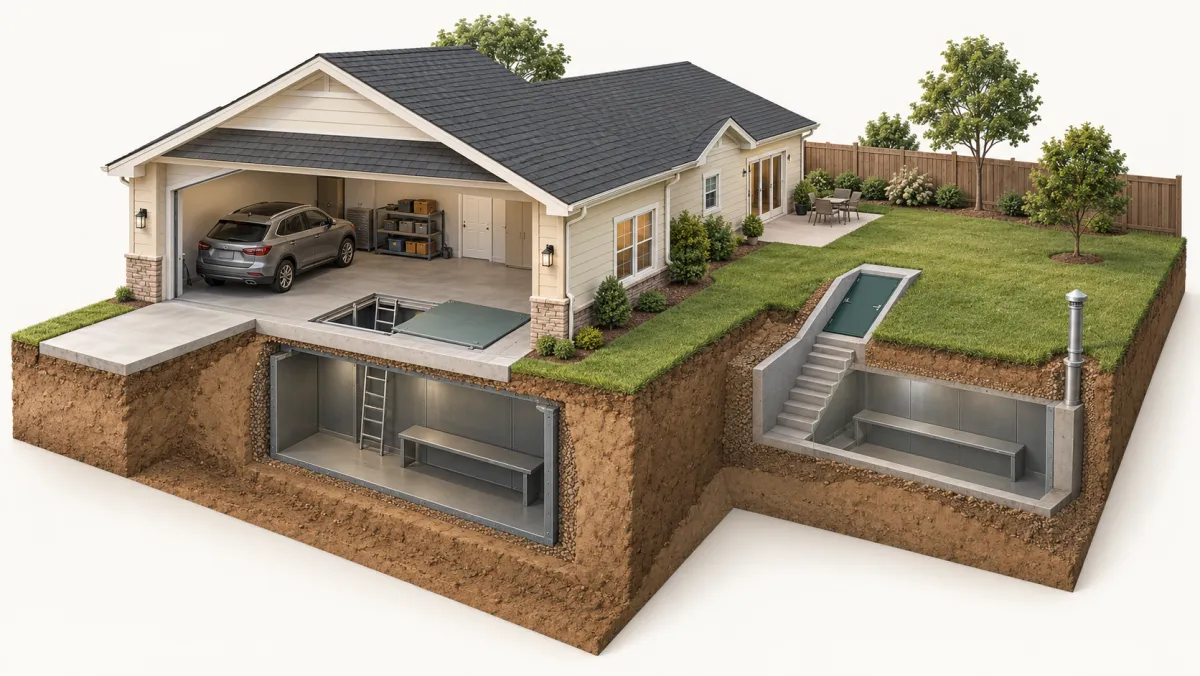
About 20% of the county’s mapped land has soils rated high or very high for shrink-swell, meaning clay that swells when wet and shrinks as it dries. In all, 3.5% of mapped land is in the very high class. Most of that rating comes from deeper layers: less than 1% of mapped land is rated high or very high at the surface. If you are planning an in-ground or garage-floor shelter, that is one reason to hire an installer who already works in Cleveland County soil, though the county map does not describe any single lot.
Moore and Norman
Have the installer check the rules for your shelter location. The city details are on storm shelters in Moore and storm shelters in Norman. Compare published ranges on storm shelter costs in Oklahoma.
What to ask for in a quote
Send a quote request. Ask the installer to look at the spot you have in mind, on the garage floor or in the yard. A useful quote:
- names the shelter model
- confirms which permit is needed and who will get it
- itemizes digging, anchoring and dirt haul-off