Jackson County’s 80 recorded tornadoes include deadly storms in February and May. For a shelter quote, ask a local installer to assess your chosen spot and handle any permit paperwork.
Tornadoes outside the usual season
Three tornadoes in the county’s record stand out:
- May 11, 1982, F3: tied for the deadliest. It killed 2 people and injured 18 on a 10-mile path that stayed in Jackson County.
- February 22, 1975, F2: it also killed 2 people and injured 8, on a 5.2-mile path inside the county.
- November 7, 2011, EF4: the strongest tornado in the record. No deaths or injuries are listed. It also touched Tillman County.
Ratings show the worst damage anywhere on a tornado’s path. Deaths and injuries also count the whole path.
The 2016–2025 total is 9 tornadoes; none is listed as EF3 or stronger. The county’s 2021–2026 draft hazard plan also lists an EF3 near Elmer on May 16, 2015, and an EF0 at Altus on May 9, 2013. The plan says every part of the county is equally at risk, and it rates future tornadoes as “Likely”.
A county list of private shelters
The Jackson County draft hazard plan for 2021–2026 includes a project to locate and map private storm shelters inside the county’s towns. The goal is a plan to get people out of a shelter after a storm if needed. The plan marks the database as complete and continuously updated, as owners report new shelters.
In Altus, the Fire Department has run a free, voluntary shelter registry since 1999. The city uses the information only if a storm causes structural damage. Details are on storm shelters in Altus.
Clay that reaches the surface
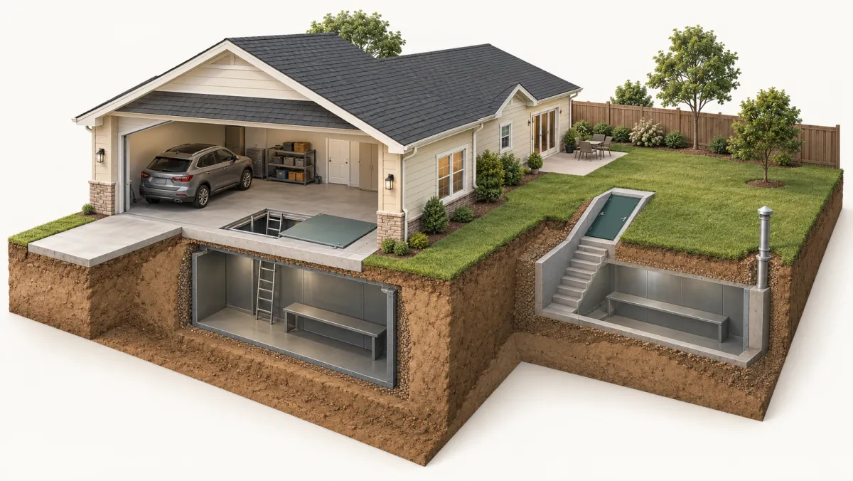
The survey puts 28.4% of Jackson County’s mapped land in the high or very high shrink-swell classes. These ratings describe soil expansion when wet and shrinkage as it dries. The surface layer has a high or very high rating on 16.4% of mapped land. The largest such area is Hollister silty clay loam, 74,262 acres on 0–1% slopes. If you plan an in-ground shelter, ask the installer how it handles this clay at your spot. The county map is not a test of your own lot.
If cracks or sticking doors are the concern, see foundation repair in Altus. Published shelter prices are on storm shelter costs in Oklahoma.
Asking for a free quote
Request a free quote and ask the installer to see the spot before setting a price. A written quote should show:
- the shelter and its installation
- any city permit, with its fee
- digging and dirt hauling, as separate lines
Also ask whether the installer reports the new shelter to the local registry for you.
Frequently asked questions
Do tornadoes in Jackson County only happen in spring?
No. The NOAA record includes a deadly F2 on February 22, 1975 and an EF4 on November 7, 2011. A shelter is worth having ready in every season.
How does my shelter get into the county shelter database?
The county plan says the database grows as owners report their shelters. Inside Altus city limits, the Fire Department keeps a free, voluntary registry with an online form. Ask your installer whether it fills in the form for you once the shelter is finished.
Is the county building public safe rooms instead?
The 2021–2026 draft plan lists a safe room built at Navajo school and safe rooms planned for Altus schools. For current public shelter guidance, follow local emergency management.
Can I get a SoonerSafe rebate in Jackson County?
Oklahoma Emergency Management still lists the 2026 SoonerSafe round as closed as of October 2026. When a round opens, wait to be selected before you install. A shelter put in before selection is not eligible.
Sources
- SPC Severe Weather Database: tornadoes 1950-2025 (NOAA Storm Prediction Center)
- Soil Data Access, SSURGO survey data (USDA NRCS)
- Jackson County Hazard Mitigation Plan 2021 – 2026
- Safe Room/Cellar Registration Form (City of Altus)
- SoonerSafe Safe Room Rebate Program (Oklahoma Emergency Management)
- SoonerSafe Rules & Regulations (Oklahoma Emergency Management)