About one in six of Pottawatomie County’s recorded tornadoes was rated F3/EF3 or stronger. NOAA’s Storm Prediction Center (SPC) lists 91 tornadoes that touched the county from 1950 through 2025. Of those, 15 reached F3/EF3 or higher, and 7 were F4/EF4 or F5.
The violent tornadoes, 1954–2013
Most of the F4 and F5 tornadoes came early in the record. Ratings, deaths and path lengths describe whole tornado paths, including portions outside the county.
| Date | Rating | Deaths | Path |
|---|---|---|---|
| May 1, 1954 | F4 | 0 (65 injured) | 59.2 miles |
| September 14, 1957 | F4 | 2 | 67.5 miles, also through Cleveland County |
| May 4, 1960 | F4 | 0 | 8 miles |
| May 5, 1960 | F5 | 5 (81 injured) | 71.8 miles across four counties |
| October 5, 1970 | F4 | 4 (84 injured) | 25 miles |
| May 10, 2010 | EF4 | 1 | 22.2 miles, also through Cleveland County |
| May 19, 2013 | EF4 | 2 | 23 miles, also through Cleveland County |
The F5 of May 5, 1960 is the deadliest in the county’s record. It struck the day after an F4 that also touched the county. The 1970 F4 came in October, well outside the spring dates that fill most of the table. Across the whole record, tornadoes that touched the county caused 15 deaths.
2016 to 2025
The last ten years of the record hold 29 tornadoes, 1 of them rated EF3 or stronger. Far more weak tornadoes get reported now than in the 1950s. So the higher recent total is not by itself a sign of more dangerous storms.
Soil around Shawnee and the county
About 21% of the county’s mapped land has soils rated high or very high for shrink-swell: clay that swells when wet and shrinks as it dries. About 1% is in the very high class. The largest high-rated map unit is Grainola silty clay loam on 5–12% slopes, about 36,800 acres. Next is a severely eroded Aydelotte clay loam on 3–5% slopes, at 18,371 acres. A county share like this describes the area, not your lot. Homeowners in Shawnee can read about local foundation work on foundation repair in Shawnee.
Registering a shelter
Shawnee/Pottawatomie County Emergency Management keeps a voluntary registry of residential safe rooms and underground shelters, started in 2001. The city’s permit steps and registry details are on storm shelters in Shawnee.
What to ask for in a shelter quote
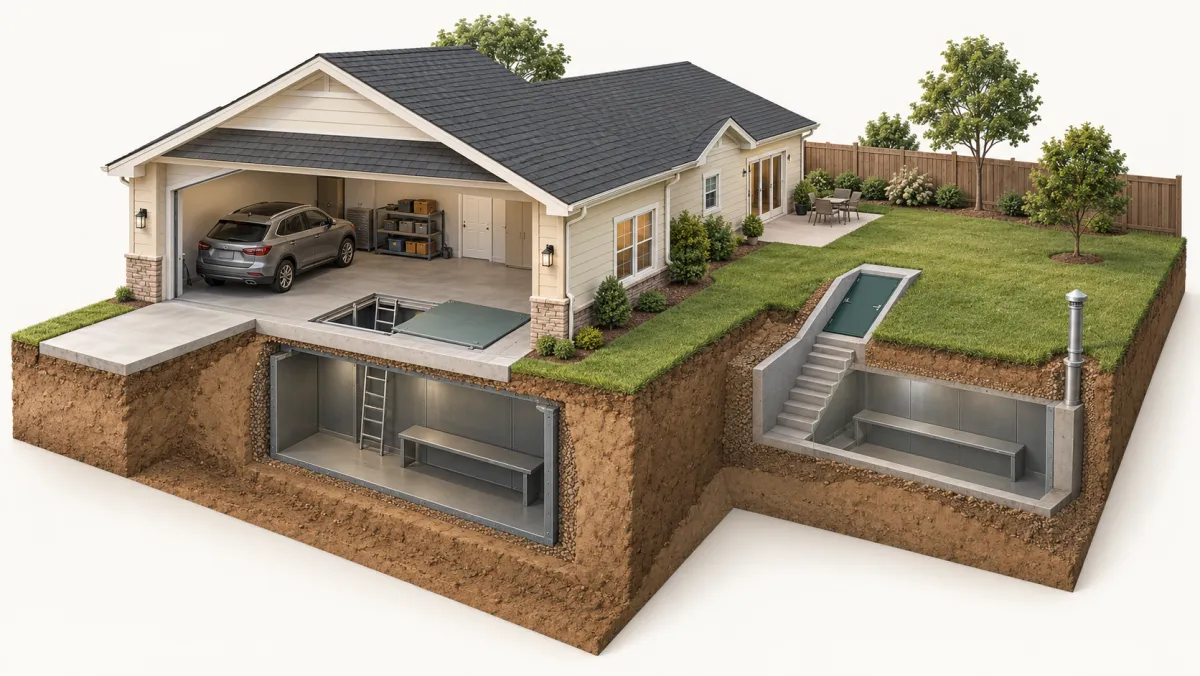
When you request a quote, it goes to an installer. The installer can look at where a shelter would go in your garage or yard and price the model that fits. Ask for the price in writing, with each of these on a separate line:
- the shelter
- installation
- any required permit and who will handle it
- the fee for that permit
For a first look at published guide ranges, see storm shelter costs in Oklahoma.
Frequently asked questions
Is Pottawatomie County a SoonerSafe priority county?
Have the installer check the priority rules for any future round before you rely on a rebate. As of October 29, 2026, Oklahoma Emergency Management lists the 2026 program as not open.
Where do I register a shelter in Pottawatomie County?
Shawnee/Pottawatomie County Emergency Management keeps a voluntary registry of residential safe rooms and underground shelters. The Shawnee storm shelter page on this site has the local details.
Do the counts on this page include 2026?
No. These county totals stop at 2025; the SPC data starts in 1950.